On this page
Pacific View: centre the map on the Pacific Ocean
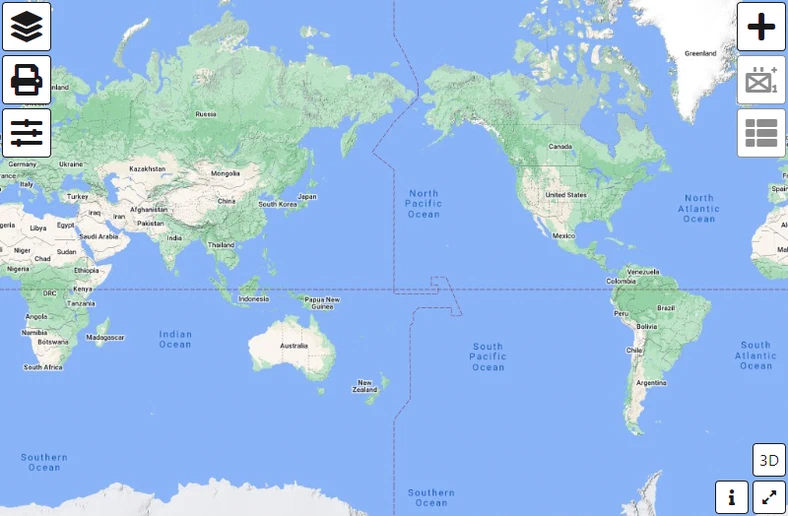
By default the map is centred on the Atlantic, which puts the Pacific at the far left and far right edges at once. Pacific View re-centres it, so an area of operations spanning the Pacific reads as one piece instead of two.
Why centre on the Pacific
The default view splits the Pacific down the middle:
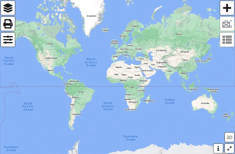
That is a problem whenever your area of operations crosses the 180° meridian — the international date line. A single force disposition ends up drawn half on the left edge of the map and half on the right, and distances across it are impossible to judge by eye. Asia-Pacific maritime exercises, and anything running from East Asia to the western coast of the Americas, are far easier to read Pacific-centred:
Turn Pacific View on
- Click the
 Options button.
 - Scroll to Coordinate Settings, inside the Map Settings group, and tick Pacific View.

Clear the same checkbox to go back to the Atlantic-centred default. The choice is stored in your browser, so it survives closing the tab and persists between sessions on that device — it does not travel with a saved layer or a share.
Last updated: