On this page
National Coordinate Grids: BNG, LV95, LV03 and SLD99
map.army also supports national coordinate grids for Great Britain, Switzerland and Sri Lanka.
The global grids — WGS84, MGRS, UTM, GARS and the hexagonal grid — are described on Coordinate Grid.
BNG (GB)
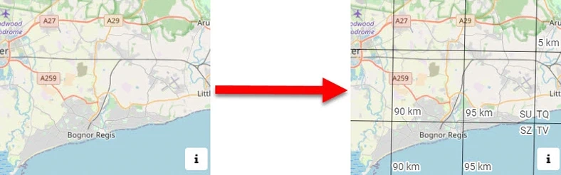
Ordnance Survey National Grid reference system (also known as British National Grid (BNG)) is a system of geographic grid references used in Great Britain, distinct from latitude and longitude. Follow these steps to set BNG as the default Coordinate Grid:
- Open the Options Menu
- Go to Map Settings
- Choose BNG in the Coordinate Grid dropdown
LV95 (CH)
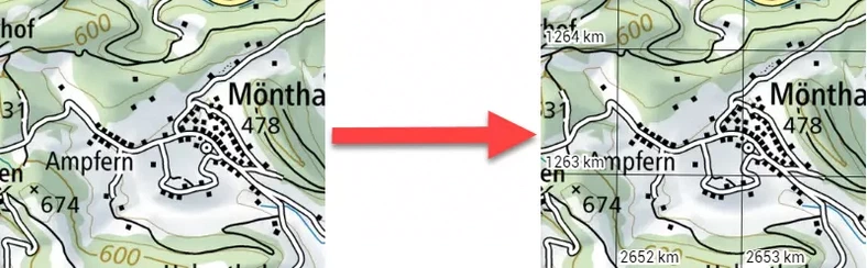
Swiss coordinate system LV95 (Landesvermessung 1995, German for “land survey 1995”) is a geographic coordinate system used in Switzerland and Liechtenstein for maps. The system is surveyed by the Swiss Federal Office of Topography (Swisstopo). Follow these steps to set LV95 as the default Coordinate Grid:
- Open the Options Menu
- Go to Map Settings
- Choose LV95 in the Coordinate Grid dropdown
LV03 (CH)
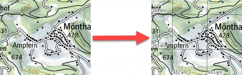
Old Swiss coordinate system LV03 (Landesvermessung 1903, German for “land survey 1903”) is a geographic coordinate system used in Switzerland and Liechtenstein. This is the coordinate grid typically shown on old Swiss maps. The system was surveyed by the Swiss Federal Office of Topography (Swisstopo). Follow these steps to set LV03 as the default Coordinate Grid:
- Open the Options Menu
- Go to Map Settings
- Choose LV03 in the Coordinate Grid dropdown
SLD99 (Sri Lanka)
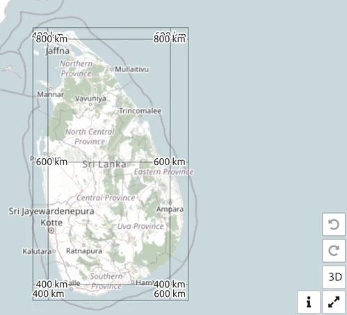
The Sri Lanka Datum 1999 grid, the national grid of Sri Lanka. Select it when working with Sri Lankan national mapping so your coordinates match the local sheets.
Kandawala
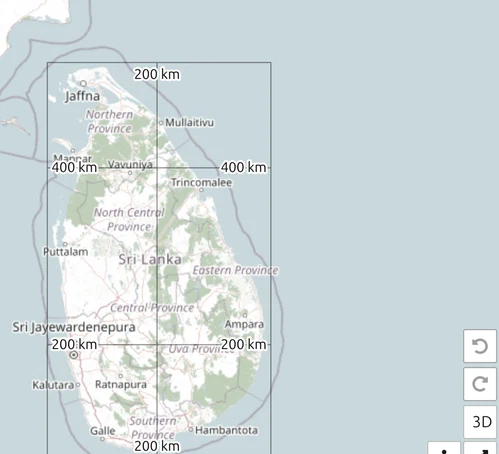
The older Kandawala datum, also Sri Lankan, still in use on legacy maps and records. Use it only when your source data is on Kandawala — mixing it with SLD99 puts positions tens of metres apart.
Last updated: