On this page
Coordinate Grids in map.army: MGRS, UTM, WGS84, BNG, LV95
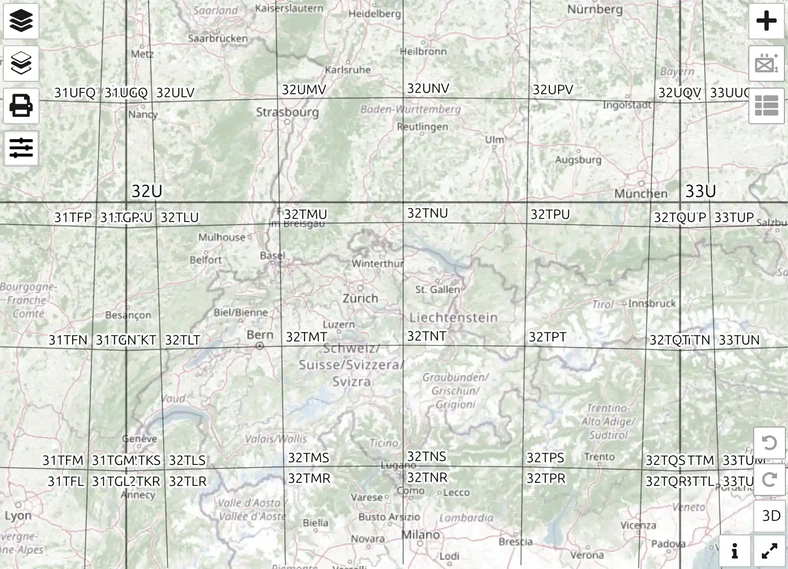
map.army draws a coordinate grid over the map and reads coordinates in the same systems. This page says what each grid is and links to the page that shows how to use it.
Which grids can I use?
| Grid | What it is | In map.army |
|---|---|---|
| MGRS (Military Grid Reference System) | NATO grid reference: grid zone, 100 km square, then easting and northing digits, for example 32TLT 12345 67890 | Coordinate Grid |
| UTM (Universal Transverse Mercator) | 60 zones, each 6° wide; positions in metres east and north | Coordinate Grid |
| WGS84 | Latitude and longitude, the reference system of GPS | Coordinate Grid |
| GARS (Global Area Reference System) | Worldwide grid of 30-minute cells, split into 15-minute quadrants | Coordinate Grid |
| BNG (British National Grid) | National grid of Great Britain | National grids |
| LV95 and LV03 | Swiss national coordinate systems | National grids |
| SLD99 and Kandawala | Sri Lankan national grids | National grids |
| Hexagonal | Hexagonal tiles with a set distance between the sides, not a coordinate system | Hexagonal grid |
You set the grid in Options → Map Settings, section Coordinate Settings → Coordinate Grid. The same dropdown switches between all grids.
How do I use a grid reference?
| You want to | Use | Page |
|---|---|---|
| Read the grid reference of a place | the grid on the map | How an MGRS grid reference is built |
| Jump to a coordinate you were given | the Coordinate Search | Coordinate Search |
| Put a symbol at an exact position | the Point List | The Point List |
| Measure a distance | the measurement tool | Measurement |
Questions
Which coordinate grids does map.army show?
MGRS, UTM, WGS84 and GARS worldwide, the national grids BNG, LV95, LV03, SLD99 and Kandawala, and a hexagonal grid. Only one grid is shown at a time.
Is MGRS the same as UTM?
No, but it is built on it. MGRS uses the same zones as UTM and names each 100 km square with two letters, so a reference is shorter — see MGRS and UTM.
Can I type a coordinate to find a place?
Yes. The Coordinate Search takes UTM, MGRS, WGS84, GARS and BNG coordinates and moves the map to that point.
How precise is an MGRS reference?
That depends on the number of digits: 4 digits name a 1 km square, 6 a 100 m square, 8 a 10 m square and 10 a 1 m square — see Precision.
Last updated: