On this page
Base maps in map.army: which map to draw your situation on
The base map is the map underneath your military symbols — the terrain, roads and place names you draw on top of. map.army offers 18 base maps from 8 providers, including the official survey maps of six countries, plus a None option that leaves the background blank. The one you pick affects how readable your situation is and whether you may publish it.
Switch the base map
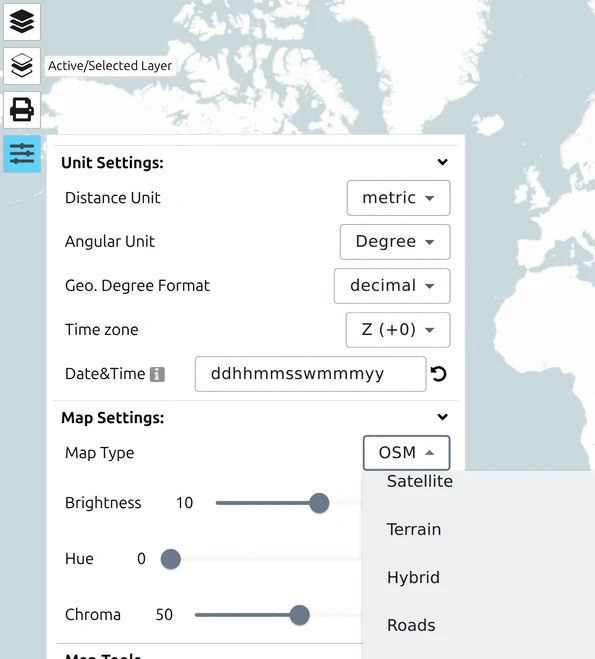
Open Options and find Map Type under Map Settings. The change applies immediately, and your symbols stay exactly where they are — only the map beneath them changes.
What each base map gives you
General-purpose maps
| Map Type | What it is |
|---|---|
| Terrain | Relief shading with roads and labels. The default, and a good all-round choice for planning. |
| Satellite | Aerial and satellite imagery, no labels. |
| Hybrid | Satellite imagery with roads and labels drawn over it. |
| Roads / Roadmap | Road-focused cartography, light on terrain detail. |
The Google-sourced maps — Terrain, Satellite, Hybrid, Roads and Roadmap — draw their labels in the app’s current language, so switching language under General Options changes the place names on the map as well as the interface. | OSM | OpenStreetMap — community-made, strong on tracks, paths and buildings. | | OpenTopoMap | Topographic styling built from OpenStreetMap data, with contour lines. Fewer labels than the others, which makes it the cleanest backdrop for symbology. | | None | No base map at all. Your symbols on an empty background. |
None is more useful than it sounds. It is how you produce an overlay to lay over somebody else’s map, and it pairs with switching off Background Map when you export — see Export a military map.
National survey maps
These are the official maps of each country’s national mapping agency — the same cartography as their printed sheets, which is what makes them worth choosing when you are working alongside people using paper maps.
| Map Type | Country | Agency |
|---|---|---|
| Swiss National Map (swisstopo) | Switzerland | swisstopo |
| Swiss Aerial Photographs (swisstopo) | Switzerland | swisstopo |
| Finland (NLS) - National Map | Finland | National Land Survey |
| Finland (NLS) - Aerial Photographs | Finland | National Land Survey |
| French (IGN) - National Map | France | IGN |
| French (IGN) - Aerial Photographs | France | IGN |
| Spain (IGN) - National Map | Spain | IGN |
| Poland (PZGiK) - Aerial Photographs | Poland | PZGiK |
| UK (OS Maps) - Light | United Kingdom | Ordnance Survey |
| UK (OS Maps) - Road | United Kingdom | Ordnance Survey |
| UK (OS Maps) - Outdoor | United Kingdom | Ordnance Survey |
A national map only covers its own country, and most of them also cover a limited zoom range. Pan outside Switzerland with the swisstopo map selected, or zoom further out than the service publishes, and the map runs out — that is the service’s coverage, not a fault.
Each also covers a limited zoom range — the swisstopo maps from about zoom 8, the Ordnance Survey maps between 7 and 16 — so a regional map can also run out by zooming rather than by panning.
The Swiss National Map goes further than the others: a second dropdown appears beneath Map Type offering the individual swisstopo print scales — 1:10 000 up to 1:1 000 000 — plus an Automatic entry that picks one for your current zoom. Choose a fixed scale when your output has to match a particular printed sheet.
Note that the scale variants credit the Federal Geoportal (geo.admin.ch) rather than swisstopo, which the parent entry credits. Same data, different attribution line — so if you are recording where a published map came from, read the credit on the map you actually exported.
Make the map recede behind your symbols
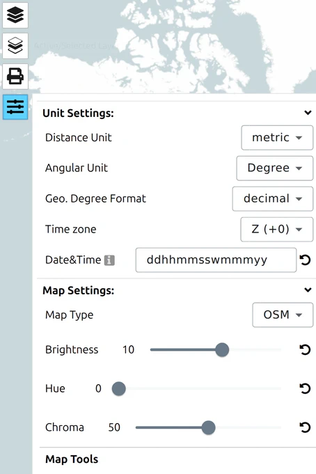
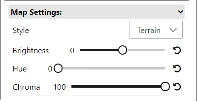
A detailed base map competes with military symbology. Three settings under Map Settings fix that without changing the map you chose:
| Setting | Effect |
|---|---|
| Brightness | Lightens or darkens the base map |
| Hue | Shifts its colours |
| Chroma | Drains colour out of it — the most useful of the three |
Turning Chroma down and Brightness up pushes the map into the background so that affiliation colours — blue, red, green, yellow — read clearly on top. Details are in Map display settings.
Before you publish an export

Which base map you were using decides whether you may republish the result.
OSM and OpenTopoMap may be redistributed with attribution. The national survey maps each follow their own agency’s licence — check the agency’s current terms before publishing, particularly for commercial work. Every base map draws its own credit onto the map, and that credit must stay visible in anything you publish; see Export a military map.
Bringing your own map service
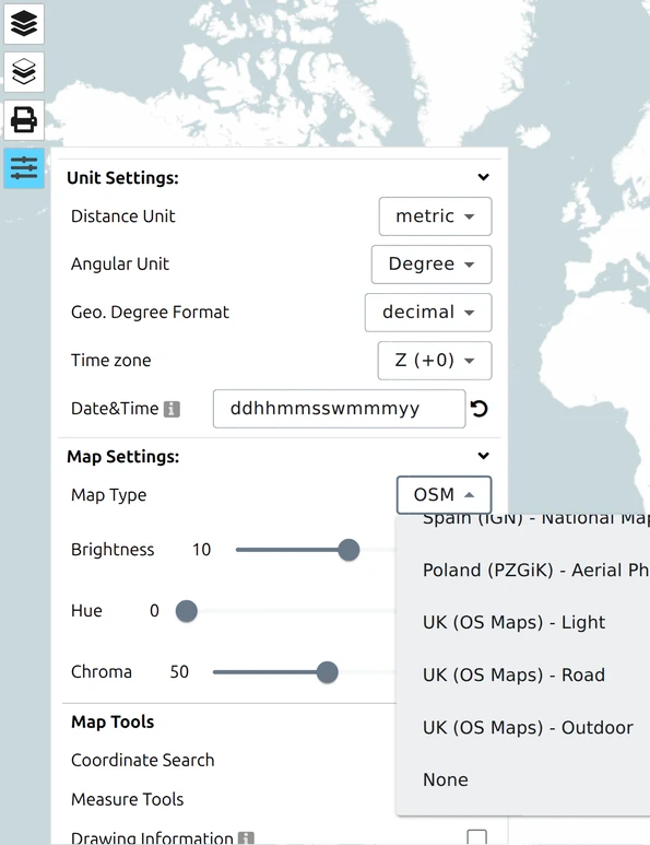
There is no setting in the application for this. The base-map list is fixed in the build, and the Options panel has no field for a WMS or WMTS address — so if you are hunting for one, stop looking. Adding a service such as a national or regional mapping agency’s is done on the gs-soft side, or in the configuration of a deployment you run yourself.
What you can do in the hosted app is work over the top of the list rather than adding to it:
- An image overlay puts a scanned, exported or privately held map picture on top of the base map — or on top of None, which leaves the background blank so your own map is all the reader sees. See Import Overlays.
- A vector layer loaded from a URL brings in someone else’s published geometry — boundaries, routes, zones — without replacing the map beneath it. See Import Overlays and Share vector and image layers.
Running the app against your own WMS or WMTS services — a national agency’s, or your organisation’s own tile server — is a professional-deployment capability, configured when the deployment is set up rather than by the person using the map. See Free vs Pro.