On this page
Export a tactical map as KML or KMZ for Google Earth
KML and KMZ are the file formats Google Earth reads — KMZ is simply a zipped KML. Exporting to them is how you hand a finished situation to someone who does not use map.army but does have Google Earth or ESRI Earth.
Export the layers
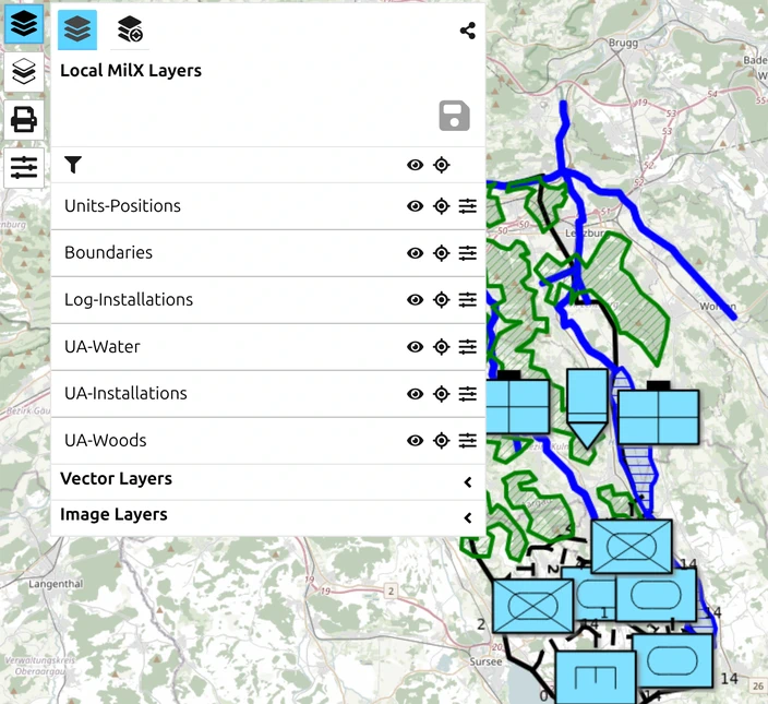
- Open the Layers menu from the main window.
- Open the Layer-Manager.
- Select the layers you want to export.
- Start a download and choose KML — the target buttons read MILX, KML and NVG.
- Save the file.
- Open it in Google Earth or ESRI Earth to check it looks right.
Zoom the map to roughly your working scale before you export. The zoom level at that moment affects how precisely symbol geometry is sampled into the KML.
The KML target always writes a zipped .kmz file; a plain .kml is never produced, and there is no zipped-or-not choice to make. (There is such a choice on the MilX target, between .milxly and .milxlyz — see Export Overlays.) Everything needed to place the content sits inside the file itself, so there is no companion file to keep alongside it.
The file holds your overlays and nothing else
This export writes out the MilX layers you select — it is not a picture of the map. What you see around your symbols on screen is not in the file:
- no base map, and no base-map credit;
- no coordinate grid of any kind, so a GARS or MGRS mesh you were working to will not be there;
- no scale bar and no magnetic-north badge.
Google Earth supplies its own background and its own grid, which is why the result still looks sensible when you open it. But if what you need is a picture of the situation as drawn — grid, scale bar and all — that is the PDF or image export instead, where each of those is a separate switch. See Create an export.
This copy is a one-way snapshot

A KML or KMZ export cannot be loaded back into map.army. The app tells you so on the export dialog itself:
“Do not use KML (KMZ) exports to save your layers. KML (KMZ) exports cannot be reopened in this web application. Please use the ‘Save as MilX’ feature to save your layers locally.”
“Due to limitations of the KML (KMZ) format, some data is inevitably lost during the export.”
The app shows that warning only while KML is the selected target, so a reader who never picks KML never sees it — and the consequence arrives much later, when the file will not reopen.
The reason is what each format stores. A MilX layer keeps every symbol’s MIL-STD-2525 attributes — affiliation, echelon, status, labels — as data you can still edit. KML keeps the drawn result: static graphics at fixed positions. Nothing in the file records that a shape was ever a friendly mechanised company.
So the working rule is: MilX is your master copy, KML is a deliverable. Save the .milxlyz first — see Export Overlays — and export KML afterwards, as often as you like.
Going the other way
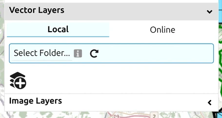
Loading a KML or KMZ into map.army is a different operation, and it arrives as a vector layer rather than as military symbols — see Import Overlays. A round trip out to KML and back therefore does not return what you started with.
If your recipient does use map.army, send them the .milxlyz file or a share link instead — both keep the symbology editable. See How to create a share.