On this page
File Formats in map.army: Import and Export at a Glance
map.army keeps your work in MilX® and exchanges overlays with other systems in several formats. This page says what each format is, whether the app reads it, writes it or both, and links to the page that shows how.
Which formats can map.army read and write?
| Format | What it is | Import | Export | Page |
|---|---|---|---|---|
MilX (.milxlyz, .milxly) | gs-soft’s format for military layers; .milxlyz is zipped | ✓ both | ✓ .milxlyz only | Export a layer, MilX format |
NVG (.nvg) | NATO Vector Graphics (ADatP-4778), the NATO exchange format for tactical overlays | ✓ | ✓ | NVG |
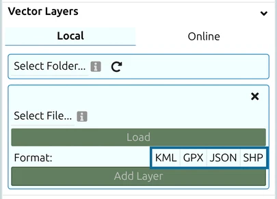
| KML / KMZ | Google Earth format | ✓ .kml as a vector layer | ✓ .kmz, a one-way copy | Vector layers, KML export |
GPX (.gpx) | GPS Exchange Format: tracks, routes, waypoints | ✓ as a vector layer | — | Vector layers |
GeoJSON (.json, .geojson) | Open format for geographic data | ✓ as a vector layer | — | Vector layers |
Shapefile (.shp) | Esri GIS vector format | ✓ as a vector layer | — | Vector layers |
Images (.png, .jpg, .bmp, .webp, .svg) | A scanned map, aerial photo or sketch | ✓ as an image layer | — | Image layers |
| Print-ready page at a chosen scale, optionally georeferenced | — | ✓ | Create an export | |
| PNG / JPEG | Picture of the map, with an optional world file (.pgw, .jgw) | — | ✓ | Create an export |
| GeoTIFF (TIFF) | Picture with the georeference inside the file | — | ✓ | Georeferenced output |
A vector layer can be converted to a MilX layer, so imported KML, GPX, GeoJSON and shapefile data becomes military graphics you can edit.
Which format should I pick?
To keep your work, use MilX: it is the only format that keeps every symbol, modifier and layer setting. For a NATO command-and-control system, use NVG. For Google Earth or a GIS overview, use KML. To brief or print, use PDF. The full decision table, with what each format loses, is on Data exchange.
Questions
Can map.army export GeoJSON?
No. GeoJSON is import only. To get vertex coordinates out of the app, export the layer to KML — see Reading polygon vertex coordinates.
Can I load a KML export back into map.army?
No. A KML or KMZ export cannot be reopened in map.army; the export dialog says so. Save a MilX copy of anything you want to edit later.
Does map.army read APP-6 symbols from NVG files?
Only symbols given as 2525c: codes are read; other symbol schemes in an NVG file are left out with a warning — see NVG interoperability.
Does map.army exchange data with ATAK or other TAK tools?
There is no reliable exchange path today — see the FAQ.
Last updated: